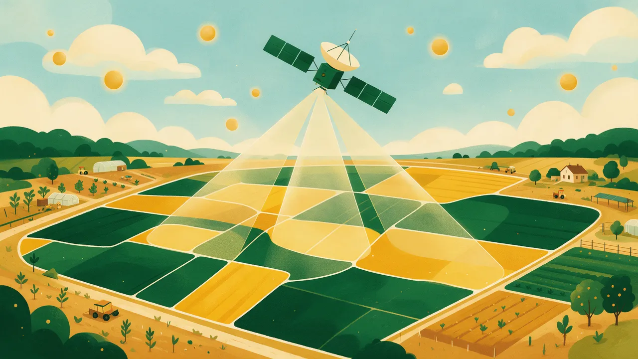
A soil map made from space sounds like science fiction, but the technology is decades old and well documented. Copernicus Sentinel-2 satellites image every European field every 2–5 days in 13 spectral bands at 10 m resolution, free of charge, with an archive back to 2015.
From image to soil map
Bare soil reflects light differently depending on its composition. Models trained on tens of thousands of lab samples — in Europe primarily the EC's LUCAS programme — learn to link spectra to lab values and apply that to your field: management zones, estimates of humus, N, P, K and pH with uncertainty intervals, sampling guidance and VRA files.
The honest limits
This is a model, not a measurement. Accuracy is published as cross-validated R² and error, and the lab remains the reference the model calibrates against. An analysis that hides its accuracy numbers does not deserve your trust.
Zemedelko's satellite analysis for a 500-decare field is ready within an hour, and the trial includes one free analysis of a field up to 500 dka.